| Home | City Bus | Maps | Villages | Cities | Rail | Tourist Places | School | College | Pin Codes | Corona Cases Count |
| Distance Calculator Bus Services IFSC Codes Trace Mobile Number Weather Search Place Trace IP Available Cash ATM/Banks Locate Polling Booth Report an Error contact People |
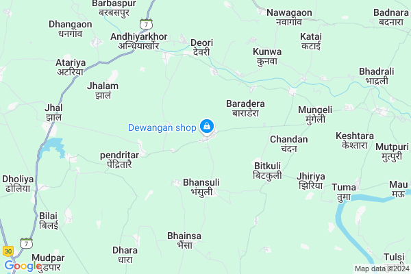
Mulmula
Mulmula Map
EDIT Map
Add Your House
 ..
..
Current Corona Virus Infected Patients Count in Durg District
| City Name | District Name | Total Covid cases |
|---|---|---|
| Bhilai | Durg | 1 |
Locality Name :
Mulmula
( मुलमुला )
Tehsil Name : Bemetara
District : Durg
State : Chattisgarh
Language : Chhattisgarhi and Hindi, Urdu
Current Time 12:40 PM
Date: Sunday , Apr 27,2025 (IST)
Time zone: IST (UTC+5:30)
Elevation / Altitude: 291 meters. Above Seal level
Telephone Code / Std Code: 07824
Assembly constituency : Nawagarh assembly constituency
Assembly MLA : Dayaldas Baghel
Lok Sabha constituency : Durg parliamentary constituency
Parliament MP : VIJAY BAGHEL
Serpanch Name :
Pin Code : 491335
Post Office Name : Bemetara
Commodities Prices : Bemetara Market / Mandi
Edit below overview about Mulmula
Edit below overview about Mulmula
OverView of Mulmula
Mulmula is a center of other villages there is a one problem there are not good road like the highway two wheeler and its dependent village is nawagaonEdit below overview about Mulmula
Rivers Near Mulmula
Khorsi
Shivnath :Seonath
Khorsi
Shivnath :Seonath
About Mulmula
Mulmula is a Village in Bemetara Tehsil in Durg District of Chattisgarh State, India. It is located 89 KM towards North from District head quarters Durg. 10 KM from Bemetara. 70 KM from State capital Raipur
Mulmula Pin code is 491335 and postal head office is Bemetara .
Bhansuli ( 3 KM ) , Nari ( 3 KM ) , Karchuwa ( 4 KM ) , Marka ( 4 KM ) , Pendritarai ( 4 KM ) are the nearby Villages to Mulmula. Mulmula is surrounded by Nawagarh Tehsil towards North , Simga Tehsil towards East , Berla Tehsil towards South , Mungeli Tehsil towards North .
Bemetra , Tilda Newra , Mungeli , Bhatapara are the near by Cities to Mulmula.
This Place is in the border of the Durg District and Raipur District. Raipur District Simga is East towards this place .
Mulmula 2011 Census Details
Mulmula Local Language is Chhattisgarhi. Mulmula Village Total population is 1923 and number of houses are 332. Female Population is 50.4%. Village literacy rate is 59.5% and the Female Literacy rate is 24.5%.
Population
| Census Parameter | Census Data |
| Total Population | 1923 |
| Total No of Houses | 332 |
| Female Population % | 50.4 % ( 969) |
| Total Literacy rate % | 59.5 % ( 1144) |
| Female Literacy rate | 24.5 % ( 472) |
| Scheduled Tribes Population % | 2.2 % ( 42) |
| Scheduled Caste Population % | 41.4 % ( 796) |
| Working Population % | 50.5 % |
| Child(0 -6) Population by 2011 | 283 |
| Girl Child(0 -6) Population % by 2011 | 52.3 % ( 148) |
Mulmula Census More Deatils.
Politics in Mulmula
Bharatiya Janata Party , BJP , INC are the major political parties in this area.Polling Stations /Booths near Mulmula
1)Mudpar2)Narayanpur
3)Karamtara
4)Bhaisbodkala
5)Navagaon
HOW TO REACH Mulmula
By Rail
There is no railway station near to Mulmula in less than 10 km.Colleges near Mulmula
Samadhan College
Address : Samriddhi Vihar, Bemetara
Smt. Kumari Devi Choubey Girla College
Address : Bemetara, Raipur
Govt. Pt. J.l.n. Sc. & Arts College
Address : Bemetara. Dist.:durg Chattisgarh
Schools in Mulmula
Govt Ms
Address : mulmula , bemetara , durg , Chattisgarh . PIN- 491335 , Post - Bemetara
Govt Health Centers near Mulmula
1) SHC Bhansuli(DURG) , Samudayik Bhawan , Abadi para , Near govt. Primary School2) SHC Pendritarai , Sub Health Center - Pendritarai , Ward 12 , Near Panchayat Bhavan & Ayurvedik Hospital
3) SHC Khamhi , , Near Panchayat Bhawan , Gram Panchayat Khamhi
Petrol Bunks in Mulmula,Bemetara
Hindustan Petroleum
Turbolet; Bemetara; NH-12A; Simga Kawardha Road; Bemetara; Bemetara; Chhattisgarh 491335; India
13.5 KM distance Detail
HP PETROL PUMP - AMBA FUELS
HPC Dealers Near Rathi Govt High School Village Pikri; NH12 A; Bemetra; Chhattisgarh 491335; India
13.5 KM distance Detail
more ..
Electronic Shops in Mulmula,Bemetara
shivam enterprises
Simga - Kawardha Rd; Bemetara; Chhattisgarh 491335; India
13.8 KM distance Detail
Super Markets in Mulmula,Bemetara
Sadguru Kabir Traders And Senetary
Simga - Kawardha Rd; Bemetara; Chhattisgarh 491335; India
15.0 KM distance Detail
Bread Agensi
bhadrakali mandir के पास बेमेतरा छ़ं ग;; Bemetara; Chhattisgarh 491335; India
15.3 KM distance Detail
Local Parks in Mulmula,Bemetara
कार्यालय रक्षित आरक्षी केन्र्द बेमेतरा छत्तीसगढ़
Char Bhatha; Chhattisgarh 491335; India
13.5 KM distance Detail
About Mulmula &
History
How to reach Mulmula
Tourist Places Near By Mulmula
Schools in Mulmula
Colleges in Mulmula
Temperature & weather of Mulmula
places in Mulmula
Mulmula photos
More Information
How to reach Mulmula
Tourist Places Near By Mulmula
Schools in Mulmula
Colleges in Mulmula
Temperature & weather of Mulmula
places in Mulmula
Mulmula photos
More Information
Village Talk
Post News or Events about this Village
Near Cities
Bemetra 16 KM near
Tilda Newra 34 KM near
Mungeli 34 KM near
Bhatapara 36 KM near
Bemetra 16 KM near
Tilda Newra 34 KM near
Mungeli 34 KM near
Bhatapara 36 KM near
Near By Taluks
Bemetara 9 KM near
Nawagarh 11 KM near
Simga 26 KM near
Berla 34 KM near
Bemetara 9 KM near
Nawagarh 11 KM near
Simga 26 KM near
Berla 34 KM near
Near By Air Ports
Raipur Airport 76 KM near
Jabalpur Airport 224 KM near
Sonegaon Airport 310 KM near
Khajuraho Airport 425 KM near
Raipur Airport 76 KM near
Jabalpur Airport 224 KM near
Sonegaon Airport 310 KM near
Khajuraho Airport 425 KM near
Near By Tourist Places
Kawardha 52 KM near
Raipur 67 KM near
Bilaspur 68 KM near
Bhilai 78 KM near
Durg 85 KM near
Kawardha 52 KM near
Raipur 67 KM near
Bilaspur 68 KM near
Bhilai 78 KM near
Durg 85 KM near
Near By Districts
Kabirdham 53 KM near
Raipur 68 KM near
Bilaspur 70 KM near
Durg 85 KM near
Kabirdham 53 KM near
Raipur 68 KM near
Bilaspur 70 KM near
Durg 85 KM near
Near By RailWay Station
Tilda Rail Way Station 35 KM near
Bhatapara Rail Way Station 37 KM near
Tilda Rail Way Station 35 KM near
Bhatapara Rail Way Station 37 KM near