| Home | City Bus | Maps | Villages | Cities | Rail | Tourist Places | School | College | Pin Codes | Corona Cases Count |
| Distance Calculator Bus Services IFSC Codes Trace Mobile Number Weather Search Place Trace IP Available Cash ATM/Banks Locate Polling Booth Report an Error contact People |
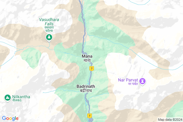
Mana
Mana Map
EDIT Map
Add Your House
 ..
..
Current Corona Virus Infected Patients Count in Chamoli District
| City Name | District Name | Total Covid cases |
|---|
Locality Name :
Mana
( मन )
Block Name : Joshimath
District : Chamoli
State : Uttarakhand
Language : Hindi and Urdu
Current Time 03:11 PM
Date: Tuesday , Apr 29,2025 (IST)
Time zone: IST (UTC+5:30)
Telephone Code / Std Code: 01389
Assembly constituency : Badrinath assembly constituency
Assembly MLA : Rajendra Singh Bhandari
Lok Sabha constituency : Garhwal parliamentary constituency
Parliament MP : Tirath Singh Rawat
Serpanch Name :
Pin Code : 246422
Post Office Name : Badrinath Seasonal
National Highways Reachable To Mana
Nationa High Way :NH109
Nationa High Way :NH109
Rivers Near Mana
Pachu Gad
Mandakini
Pachu Gad
Mandakini
About Mana
Correct below Info and add more info about ManaMana is a Village in Joshimath Block in Chamoli District of Uttarakhand State, India. It is located 50 KM towards North from District head quarters Chamoli Gopeshwar. 34 KM from Joshimath. 174 KM from State capital Dehradun
Mana Pin code is 246422 and postal head office is Badrinath Seasonal .
Mana is surrounded by Gopeshwar Block towards South , Dasholi Block towards South , Ukhimath Block towards west , Ghat Block towards South .
Pauri , Tehri , Chamba , Almora are the near by Cities to Mana.
Mana 2011 Census Details
Mana Local Language is Hindi. Mana Village Total population is 1214 and number of houses are 558. Female Population is 39.8%. Village literacy rate is 83.5% and the Female Literacy rate is 27.4%.
Population
| Census Parameter | Census Data |
| Total Population | 1214 |
| Total No of Houses | 558 |
| Female Population % | 39.8 % ( 483) |
| Total Literacy rate % | 83.5 % ( 1014) |
| Female Literacy rate | 27.4 % ( 333) |
| Scheduled Tribes Population % | 70.6 % ( 857) |
| Scheduled Caste Population % | 6.4 % ( 78) |
| Working Population % | 84.9 % |
| Child(0 -6) Population by 2011 | 77 |
| Girl Child(0 -6) Population % by 2011 | 53.2 % ( 41) |
Mana Census More Deatils.
Politics in Mana
BJP , INC are the major political parties in this area.Polling Stations /Booths near Mana
1)Pana2)Tedhakhansal
3)Byara Chak Sainji
4)Mana
5)Joshimath
HOW TO REACH Mana
By Rail
There is no railway station near to Mana in less than 10 km.Colleges near Mana
Govt Inter College Ghandiyal, Karnprayg, Chamoli
Address : Ghandiyal
Government Inter Collage
Address :
Govt Inter Collage Rohida
Address :
Gic Bhagawati
Address :
G I C Lolti
Address :
Schools in Mana
Ps Naigwad
Address : mana , joshimath , chamoli , Uttarakhand . PIN- 246443 , Post - Vishnupuram
Ps Mana Gingran
Address : mana , joshimath , chamoli , Uttarakhand . PIN- 246443 , Post - Vishnupuram
Govt Health Centers near Mana
1) Health Sub Center Tangani , Sub Center Tagani , ,2) Daira , Sub Center Daira , Daira , Daira
3) Malari , SC Malari , ,
Schools in Mana,Joshimath
Electronic Shops in Mana,Joshimath
Super Markets in Mana,Joshimath
Local Parks in Mana,Joshimath
Police Stations near Mana,Joshimath
Governement Offices near Mana,Joshimath
About Mana &
History
How to reach Mana
Tourist Places Near By Mana
Schools in Mana
Colleges in Mana
Temperature & weather of Mana
places in Mana
Mana photos
More Information
How to reach Mana
Tourist Places Near By Mana
Schools in Mana
Colleges in Mana
Temperature & weather of Mana
places in Mana
Mana photos
More Information
Village Talk
Post News or Events about this Village
Near Cities
Pauri 110 KM near
Tehri 119 KM near
Chamba 128 KM near
Almora 146 KM near
Pauri 110 KM near
Tehri 119 KM near
Chamba 128 KM near
Almora 146 KM near
Near By Taluks
Joshimath 33 KM near
Gopeshwar 48 KM near
Dasholi 50 KM near
Ukhimath 52 KM near
Joshimath 33 KM near
Gopeshwar 48 KM near
Dasholi 50 KM near
Ukhimath 52 KM near
Near By Air Ports
Dehra Dun Airport 167 KM near
Pantnagar Airport 216 KM near
Simla Airport 254 KM near
Muzaffarnagar Airport 258 KM near
Dehra Dun Airport 167 KM near
Pantnagar Airport 216 KM near
Simla Airport 254 KM near
Muzaffarnagar Airport 258 KM near
Near By Tourist Places
Badrinath 3 KM near
Hemkund Sahib 15 KM near
Govindghat 19 KM near
Joshimath 27 KM near
Auli 30 KM near
Badrinath 3 KM near
Hemkund Sahib 15 KM near
Govindghat 19 KM near
Joshimath 27 KM near
Auli 30 KM near
Near By Districts
Chamoli 48 KM near
Rudra Prayag 82 KM near
Pauri Garhwal 109 KM near
Uttar Kashi 113 KM near
Chamoli 48 KM near
Rudra Prayag 82 KM near
Pauri Garhwal 109 KM near
Uttar Kashi 113 KM near
Near By RailWay Station
Doiwala Rail Way Station 165 KM near
Raiwala Junction Rail Way Station 166 KM near
Doiwala Rail Way Station 165 KM near
Raiwala Junction Rail Way Station 166 KM near