| Home | City Bus | Maps | Villages | Cities | Rail | Tourist Places | School | College | Pin Codes | Corona Cases Count |
| Distance Calculator Bus Services IFSC Codes Trace Mobile Number Weather Search Place Trace IP Available Cash ATM/Banks Locate Polling Booth Report an Error contact People |
Palpora
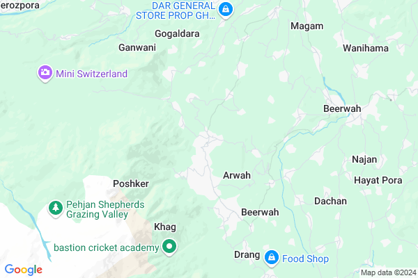
Palpora Map
EDIT Map
Add Your House
 ..
..
Current Corona Virus Infected Patients Count in Badgam District
| City Name | District Name | Total Covid cases |
|---|
Locality Name :
Palpora
( पलपुरा )
Block Name : Khag
District : Badgam
State : Jammu & Kashmir
Language : Hindi and Urdu
Current Time 11:27 AM
Date: Tuesday , Apr 29,2025 (IST)
Time zone: IST (UTC+5:30)
Elevation / Altitude: 1580 meters. Above Seal level
Telephone Code / Std Code: 01951
Assembly constituency : assembly constituency
Assembly MLA :
Lok Sabha constituency : parliamentary constituency
Parliament MP :
Serpanch Name :
Commodities Prices : Parimpore Market / Mandi
National Highways Reachable To Palpora
Nationa High Way :NH444
Nationa High Way :NH44
Nationa High Way :NH444
Nationa High Way :NH44
Rivers Near Palpora
Jhelum River :Jhelum River
Sukhnag River
Jhelum River :Jhelum River
Sukhnag River
About Palpora
Correct below Info and add more info about PalporaPalpora is a Village in Khag Block in Badgam District of Jammu & Kashmir State, India. It is located 29 KM towards west from District head quarters Budgam. 31 KM from State capital Srinagar, Jammu
Palpora is surrounded by Beerwah Block towards East , Kunzer Block towards North , Breng Block towards North , Khan-Sahib Block towards East .
Baramula , Sopore , Srinagar , Punch are the near by Cities to Palpora.
This Place is in the border of the Badgam District and Baramulla District. Baramulla District Pattan is North towards this place . Also it is in the Border of other district Poonch .
Demographics of Palpora
Hindi is the Local Language here.HOW TO REACH Palpora
By Rail
There is no railway station near to Palpora in less than 10 km.Pincodes near Palpora
193401 ( Magam ) , 193402 ( Tangmarg ) , 193403 ( Gulmarg )Colleges near Palpora
Govt. Degree College Magam
Address :
Syed Ali Memorial College Of Education
Address :
Govt. Digree Collage Beerwah
Address :
Govt.degree College Khansahib
Address :
Sheikh-ul-aalam Degree College Budgam
Address :
Schools near Palpora
R.m.p Sec School
Address : ward no 5 kralpora magam , magam , badgam , Jammu & Kashmir . PIN- 193401 , Post - Magam
Boys Secondary Sch. Poshkar
Address : poshkar , magam , badgam , Jammu & Kashmir . PIN- 193411 , Post - Beerwah
Green Veiw Public School
Address : ward no 5 kralpora magam , magam , badgam , Jammu & Kashmir . PIN- 193401 , Post - Magam
Boys Secondary Sch. Palapora
Address : pala pora , magam , badgam , Jammu & Kashmir . PIN- 193401 , Post - Magam
Govt Health Centers near Palpora
1) PHC Khag , House 301/Government Building , Khag Zargar Mohalla , Near Govt Higher Secondary School Khag2) SC TRAPY , House No.31/Government Building , Sheikh Mohalla , Near Govt Middle School Trappy
3) PHC Poshker , House No.275/Government Building , Astan Mohalla , Near J&K Bank
Hospitals in Palpora,Khag
Primary Health Centre Khag
33°59'44. 74°31'48.; 0"N; AH2; Dokmoka; Assam 782441
0.6 KM distance Detail
HOSPITAL
Pushkar Rd; Ganpati Nagar; Aravali Vihar Colony; Ajmer; Rajasthan 305004
4.3 KM distance Detail
more ..
Petrol Bunks in Palpora,Khag
HP PETROL PUMP - ALMDHAR HP FILLING STATION
Sonpah; DIET Beerwah; Jammu; Jammu and Kashmir 193411
8.5 KM distance Detail
more ..
Colleges in Palpora,Khag
Government Degree College Beerwah
GDC Beerwah; Budgam; Beerwah; Jammu and Kashmir 193411
6.5 KM distance Detail
Govt Degree College Beerwah
Government Degree College; Beerwah College Rd; Beerwah; 193411
6.5 KM distance Detail
more ..
Schools in Palpora,Khag
Government Middle School Gund Dalwash
Eightway; 8; Way Rd; Gokhale Vihar; Butler Colony; Lucknow; Uttar Pradesh 226001
2.8 KM distance Detail
Samie Public School Lalpora
Beerwah - Lalpora Rd; Beerwah; Jammu and Kashmir 193411
4.9 KM distance Detail
Electronic Shops in Palpora,Khag
Mir Enterprises Magam
Near SBI Bank magam; Gulmarg road magam; Magam; Jammu and Kashmir 193401
12.8 KM distance Detail
Super Markets in Palpora,Khag
Governement Offices near Palpora,Khag
Kanihama Panchayat
Kanihama; Srinagar - Gulmarg Rd; Nooripora; Jammu and Kashmir 193401
16.0 KM distance Detail
About Palpora &
History
How to reach Palpora
Tourist Places Near By Palpora
Schools in Palpora
Colleges in Palpora
Temperature & weather of Palpora
places in Palpora
Palpora photos
More Information
How to reach Palpora
Tourist Places Near By Palpora
Schools in Palpora
Colleges in Palpora
Temperature & weather of Palpora
places in Palpora
Palpora photos
More Information
Village Talk
Post News or Events about this Village
Near Cities
Baramula 30 KM near
Sopore 37 KM near
Srinagar 38 KM near
Punch 52 KM near
Baramula 30 KM near
Sopore 37 KM near
Srinagar 38 KM near
Punch 52 KM near
Near By Taluks
Khag 0 KM near
Beerwah 6 KM near
Kunzer 10 KM near
Breng 12 KM near
Khag 0 KM near
Beerwah 6 KM near
Kunzer 10 KM near
Breng 12 KM near
Near By Air Ports
Srinagar Airport 24 KM near
Satwari Airport 167 KM near
Pathankot Airport 250 KM near
Gaggal Airport 278 KM near
Srinagar Airport 24 KM near
Satwari Airport 167 KM near
Pathankot Airport 250 KM near
Gaggal Airport 278 KM near
Near By Tourist Places
Gulmarg 16 KM near
Khilanmarg 19 KM near
Yusmarg 25 KM near
Budgam 26 KM near
Srinagar 29 KM near
Gulmarg 16 KM near
Khilanmarg 19 KM near
Yusmarg 25 KM near
Budgam 26 KM near
Srinagar 29 KM near
Near By Districts
Badgam 28 KM near
Srinagar 29 KM near
Baramulla 32 KM near
Ganderbal 36 KM near
Badgam 28 KM near
Srinagar 29 KM near
Baramulla 32 KM near
Ganderbal 36 KM near
Near By RailWay Station
Udhampur Rail Way Station 148 KM near
Jammu Tawi Rail Way Station 165 KM near
Udhampur Rail Way Station 148 KM near
Jammu Tawi Rail Way Station 165 KM near